Sunday, June 21, 2020

Mount Rainier: Take Care of Your Knees...(continued)

September 3-5 : Peak Loop/Dege Peak/Berkeley Park - Mount Rainier National Park

Summer holiday weekends are a challenge when living on the road. Campgrounds get crowded and fill early, often with more partiers than I can tolerate (OK, any). I have learned, maybe somewhat counterintuitively, that this can be a good time to head to a national park. Big holiday campers don't tend to go to national parks. Parks charge an entrance fee, have strict restrictions on dogs, and offer campsites that are usually smaller and more tightly packed together than in most national forest campgrounds. You can't really spread out yourself out along the river. Campers at national parks tend to be serious hikers or people from out of state or other countries who have come specifically to see the park. They're not there to sit around the campground and party.

So this past Labor Day weekend I headed down to White River Campground at Mount Rainier, my local national park. I got there early in the week, Wednesday, a precaution that proved thoroughly unnecessary as the weather was fairly lousy. Not terrible, just heavily overcast with intermittent rain showers. Only one day was bad enough to keep me confined to my tent. But the splendor that makes it a national park was deeply camouflaged. Consequently the campground never filled up and on a couple of those rainy mornings it seemed oddly deserted.

View from White River tent

All of which was fine with me as I wasn't really ready to hike yet. My knee seemed to be improving rapidly though, so on Saturday when the forecast called for a little sun I was ready to try a short hike. Another great thing about national parks is they tend to have lots of good short hikes and Mount Rainier has plenty. I chose the Naches Peak Loop, leading straight off the highway at Chinook Pass, right at the border of the national park and the national forest. It is a fairly easy three mile loop, perfect for kids and there were a lot of them. I like kids when they're enthused and these kids seemed to be having a good time, especially picking berries.

The sun never did break through the thick clouds so Rainier itself remained thoroughly hidden. This made it a good day to experience the aesthetics of forest and meadow, often lost in the Mountain's splendor. I decided it would be a good place to take someone looking to experience a great subalpine ecology without paying the national park entrance fee, recently jacked up to $25. In fact, since the trail straddles Mount Rainier and the forest service's William O. Douglas Wilderness, people can bring dogs halfway around the loop, then head down along the PCT to Dewey Lake.


This hike went so well I went out again the next day on a four-mile round trip to Dege Peak out of Sunrise. On clear days the views from Dege Peak are spectacular, but once again only bits of sun broke through the vast fog banks, so it was another day to appreciate the smaller things. In fact this day's highlight was a small girl, four years old she would later inform me, churning up the rather steep trail to Sourdough Ridge, smelling the flowers and greeting the passers-by, myself included. I told her she was doing a great job and she said thank you. I figured her parents were good for getting her as far as she was, and was dumbstruck an hour or so later to see her breeze onto the summit at Dege Peak. When she spotted me she exclaimed “I did it!”, as indeed she had.

Emmons Glacier


Sunrise Meadow 

Feeling no pain from these modest efforts I went out again the next day, Labor Day. Not only was it the only sunny day of the weekend, it was the only decent day in the immediate forecast, so I decided to try the somewhat more challenging hike out to Berkeley Park. I figured if it clobbered me I'd have plenty of rainy days to recover. So once more I was with the crowds ascending the Sourdough Trail, watching as people peeled off at each trail intersection – to Dege Peak, Fremont Lookout, Burroughs Mountain, Skyscraper Pass – all trails with great views. If I were an infrequent visitor I'd be doing one of those as well, but by the time I was descending the trail to Berkeley Park I was the only one left. I would have the park gloriously to myself for an hour before a few backpackers came passing through. After that I would see two other day hikers the entire day, this once again on a lovely trail on a sunny summer holiday.

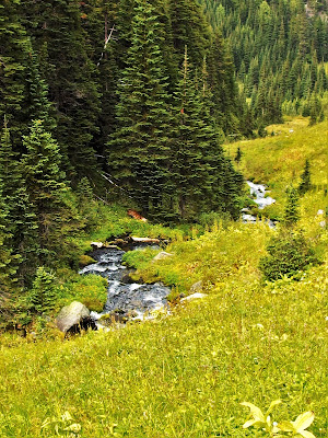
As meadows go Berkeley Park beats the pants off the far more popular Summerland. For one, it really is a park in that the meadow is rich with trees. It does lack a view of the mountain but for that you can continue on to Grand Park - a fine idea - for a big wide view. Mostly Berkeley Park has Lodi Creek, which has to be the best creek in the national park. It comes cascading down in full view from Burroughs Mountain and closely parallels the trail throughout. In a couple of places the trail comes down to meet the creek, where boulders fallen from the jagged cliffs high above are conveniently situated for lunch or nap.


Berkeley Park

Lodi Creek

Lodi Creek


Berkeley Park draws a bigger crowd in flower season, though like most Cascade meadows it can be very buggy in flower season. (Grand Park can be brutal.) That's all gone by September though. Yet the meadow was far from dry. Not only was the creek robust, so were the many springs and seeps emerging from the still-lush grass. It is truly a place to savor. After a mile or so the meadow gives way rather abruptly to a wonderfully spooky patch of old-growth silver fir, decked out in goat's beard. I've always noticed that this tree is typically thus festooned but I never focused on it until this rainy week. I began to research why but have found no answers. The trail descends to one last intersection with the creek before it begins to climb up to Grand Park, a bit too ambitious for me on that day. I was weary and sore as I climbed back out to Sourdough Ridge, but I was not in pain. This is progress.

Take Care of Your Knees, That Might Work for You *: Heliotrope Ridge and Ptarmigan Ridge


I - August 19-21, 2016: Heliotrope Ridge - Mount Baker Wilderness - North Cascades 

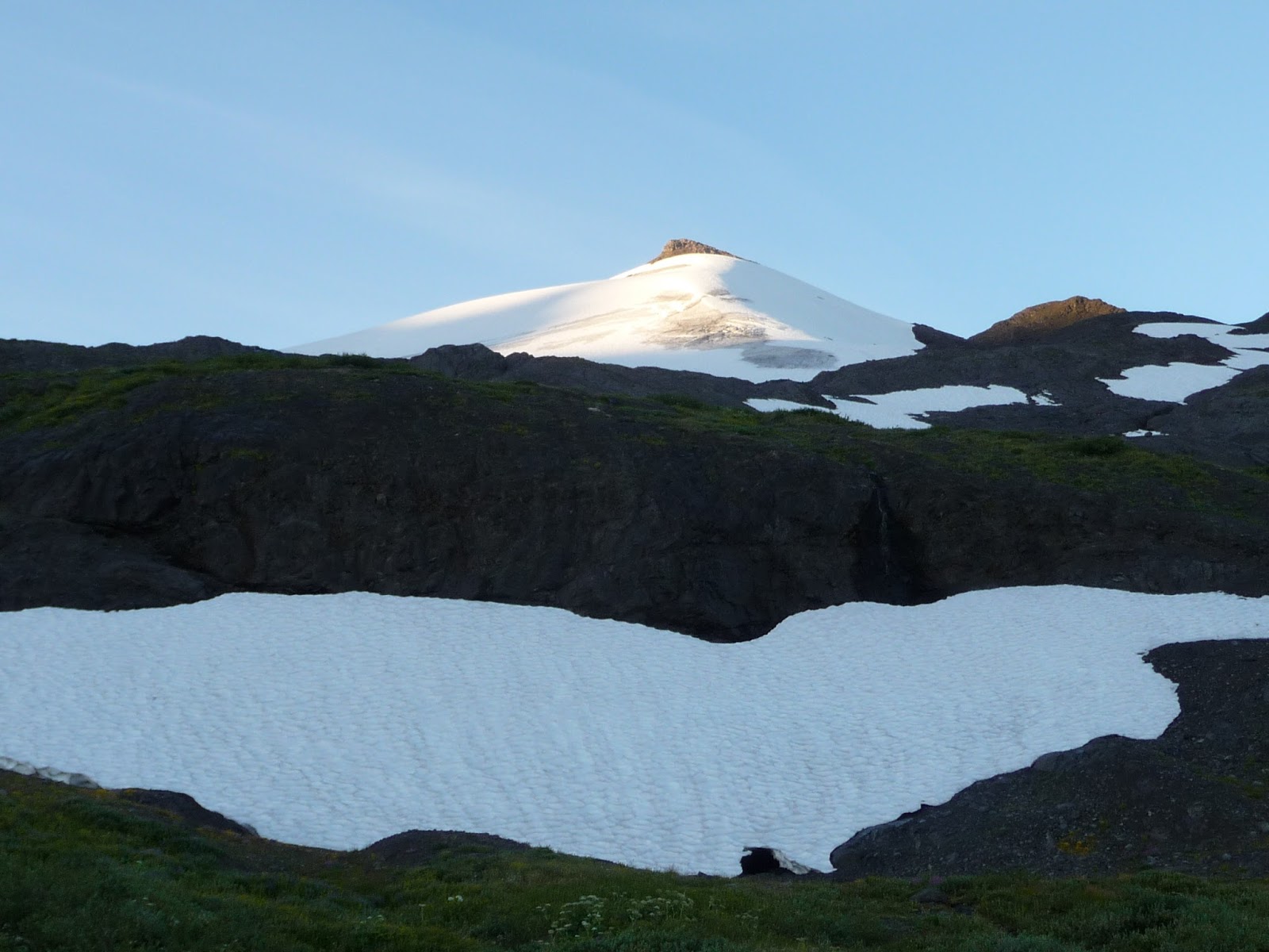
Given that my retirement plan relied to a large extent on hiking, some early drama centered around the state of my knee. It had been quite swollen and painful early in the summer but had been gaining strength and hurting less as I began walking regularly with a knee support strap. It held up fine on a few moderate day hikes in early August so I took it out for a true test: a two-night backpack to Heliotrope Ridge on the north slopes of Mount Baker. Much of this hiking was off trail over rough, rocky terrain on a beautiful expanse of periglacial landscape. Streams pour down from the snowfields and glaciers of Baker and its satellites, the Black Buttes, over the rocky surfaces recently, and increasingly, freed of glacial ice, creating nascent flower gardens. In addition to the close-up view of Baker's north face and the Black Buttes (less daunting here than from the south side of Baker; here they appear as nunataks.), and distant views to British Columbia's coast range, the visual star is the sweeping view of the Roosevelt and Coleman Glaciers, as spectacular a scene as the North Cascades has to offer.


Mount Baker (note climbers tents)


Coleman and Roosevelt Glaciers

Oddly, the area is thoroughly underused. The official trail leads to a close-up look at the Coleman Glacier and also provides a unique view of Baker, at least early or late in the day when the the sun's glare does not obscure the icy peak. It's a very popular hike in that it is not long or all that steep and it does provide a terrific closeup of an awesome river of ice. On the other hand, the trail entails crossing several unbridged streams, difficult for anyone and downright dangerous for the inexperienced. And it really gives short shrift to the greater Heliotrope area.

The alternative, which I prefer, is to follow the climbers trail as it splits off from the main trail and heads directly toward the mountain. At first it is very steep going but in a relatively short distance yields great views, including the aforementioned two sweeping glaciers as well as expanses of flowery meadows that are reward in themselves and utterly lacking on the main hikers trail. Again, it's steep, but I take it really slow, rest as much as I need, and at my leisure enjoy the great views. I also take a lot of pictures.


Once the trail levels off, relatively anyway, it breaks down into several use trails that all lead eventually to a large base camp, mostly cleared patches of glacial rock, for the climbers seeking to summit Mount Baker. These people tend to be the only ones who come up this way, and they have a job to do so they don't do much wandering.

But the fit and footloose can head west from the climbing camp and simply follow the glacial front, touring among highly metamorphosed and glacially striated rock, streams rushing off an incredible volume of meltwater, fields of flowers, a hidden tarn or two. Slow walking with no particular place to go, it had become one of my favorite places for alpine lollygagging and I always regretted having to leave late in the afternoon, just as the light was getting good. Now for the first time I didn't have to. I was spending the night.


Finding a camp proved hard as there really aren't any. I spotted a potential place from up above and descended to it, only to learn that what looked like a grassy meadow was actually a protective barrier of slide alder. I had no better ideas so I managed to skirt around this phalanx and reach what looked like the remains of a climbers camp, now largely overgrown. The ground was not very good for sleeping and in fact I had a lousy night sleep. But I had a spectacular view of the northwest face of Baker in sunset glow, just like I always imagined!


The next morning I got up and found a better, more remote camp site lower down in one of the meadows leading back into the forest. Then I set off on a mission I had set for myself, climbing up the steep ridge to the west that outflanks all the ice surrounding the Black Buttes. I wanted to see the west side of Baker and hopefully Thunder Glacier, one of the two Baker glaciers I'd yet to set eyes on. Ideally I'd be able to scope out a path leading to it. The ridge was a tough ascent through thick flowers, super-steep scree and then vertical snow fields made safer by heavy cupping. I slipped once and one of my water bottles – the full one - shot free and bounced down the crusty snow, eventually disappearing into a little hole. I wasn't about to go back down for it but I figured I could get it on the way back (and I did). The view at the top was a letdown. No sign of the glacier, just an old lateral moraine, and cross-country travel looked far too grueling after the climb I had just had. This portion of Baker seems to have no trail, no formal trail anyway, and someday I hope to explore it.


I had hoped to spend a few hours up on top of the ridge to see Baker and the glacial ice more clearly as the sun moved further west, diminishing the glare. But I was down a water bottle and far above any flowing streams. I would have to go down for water and I sure wasn't coming back up, so I retreated to spend the rest of the day back amid my fountains and rock gardens. It was a longer afternoon than I would have liked, as there is no shade. There is lots of running water so I wedged myself as closely as I could next to a rushing crevice, but still did not get the breeze I felt we deserved. But I was the only one out there, this on a beautiful Saturday afternoon in August, not three hours from a popular trailhead.


As I said, the terrain was rough and rocky and I had been hiking quite deliberately the entire time. I wouldn't say I was favoring my knee but I was certainly trying to avoid any unnecessarily hard impact. But inevitably it happened: I stumbled on a tricky slope and as I lost my balance I knew I could only stop myself from an ugly tumble by planting hard with my right leg, exactly what I had been trying to avoid. In that split second I readied myself for a shooting pain, my knee maybe buckling, and a fall that while not fatal would likely be bloody. But none of that happened. My knee held fast, without a twinge. I felt glorious relief. Victory even.

  That evening I took a leisurely stroll to some overlooks of the climbers’ camps, the Roosevelt and Coleman Glaciers, all amid the rock gardens at my feet. Sensing my relaxation but with little concern for my location, my bowels decided it would be a swell time to let go. Defecating is one of the primal concerns in back country travel. Some back country camps, particularly in national parks, provide pit toilets, but most of the wilderness does not. Leaving your mess under a tree is rude, unhygienic, and pretty disgusting. Proper behavior calls for the “cat hole”, a six-inch hole in the dirt subsequently buried. To avoid fires, toilet paper should be carried out, not burned.

How many backpackers comply with these standards is unknown; certainly more than before the standards were promulgated. I do my best even as I find it rather unpleasant. I do not carry a little shovel for assuring a six-inch hole and usually resort to supplementing what hole I can dig with a pile of dirt and forest litter I then tamp down. Probably good enough unless hard rain hits. As for the toilet paper, no, I burn it, on a boulder if possible, carefully pulverizing the ashes before dowsing them with water. I will not start a fire. NOLS would give me, what, a B-?

But the situation becomes more complex in the alpine country above treeline, where there is no soil to speak of, and certainly not six inches. Leaving messes up there had long been the thing, even more disgusting because it doesn't decompose and more unhygienic because not only aren't you 200 feet from a watercourse, you are at the top of an entire watershed.

Hence the blue bag, which is simply a means to carry it home with you. I had seen blue bags at trailheads but until this hike I'd never had cause to use one. I had picked mine up at the trailhead but it came with no instructions, leaving me wondering what was the recommended method: poop and scoop like a dog owner or direct delivery. When the time came I opted for the latter and experienced one of the low points of my hiking career. As I was evacuating heartily, out with no authority whatsoever came a stream of urine which my stooped position and state of undress was simply not prepared to accommodate. In short I pissed straight into my pants as they dangled at my knees; I had absolutely no way to adjust, given what was going on elsewhere. It was awful.

The actual blue bag operation went about as well as could be expected, however, so now I had a bag of shit in my hands. I immediately discovered the bag had no magic properties. One could see and smell the contents just fine. This was depressing enough as I had a long way to travel. Yet I was supposed to carry it with me in my backpack for another day? How this could work for a team of mountain climbers up for three days continues to elude me.

It was now simply a delicious evening, but I had to get back to my tent. The area I was hiking around has three basic elevation levels, not counting the actual glaciers and mountain slopes. The highest level is the rock gardens where I had lounged the afternoon away. The middle level was where I'd camped the first night, waterfalls galore. The lowest level was where I had pitched my tent this night, and I decided to return along that level back to my tent. This was maybe not my best decision as this was a route I had yet to explore. For starters, I was now hiking directly into a very low sun, and I couldn't see a thing. I had to wind in and around slide alder stands and down and up water courses, water course that had been garden-like on the top level and wonderful waterfalls on the middle level were deep gulches on this level. Finally, I had to execute this increasingly steep clamoring with one hand, in deference to my awkward cargo. What had been a fine jaunt out had become a challenging ordeal back.

It was taking way longer than I’d expected, and as blinding sunset gave way to rapidly dwindling light I began getting nervous about even finding my tent in the dark. I ascended each gulley hoping hard that I would spot my camp and was thwarted time after time. Nevertheless, throughout my travails I, like Horton, had absolutely no intention of abandoning my responsibility. I vowed that even if they found me dead in a gully they would see I had held on to my blue bag. But I did eventually get to my tent, placed my bag fifty feet from both my tent and my bear canister, and left the animals to do what they would, which proved to be nothing. I did have a second blue bag in my tent and once I put the first into the second it became reasonable to put it all in my backpack, and that was pretty much the end of that saga. Moral: always carry two bags.

The next morning brought a reprise to the previous evening’s fiasco. I had all day to get back to the trailhead but I still got an early start and quickly recognized that I had poor balance and a poor sense of route finding. I slipped and fell on my butt once, stumbled once to my hand, staggered about some, and took a really indirect way out of my little meadow. Even then I wasn't sure exactly where I was going. Once again the sun, this time rising, was in my eyes so I could not see, but at least this morning I had time to rest several times – every fifty feet it seemed – and wait for the sun to get high enough to not be in my eyes. I found the entire first 30-45 minutes disheartening and disturbing.

I actually decided at one point to take the low road again; I could descend to it and take as much time as I needed. Thankfully I outvoted myself on that, climbed solidly up a very steep slope to the middle road to see I had made the right decision. By this time the sun was where it belonged, shining on the flowers instead of my eyes, and I celebrated with a light breakfast along a flowery stream before mostly ambling across the kinder, gentler, cross-country route, eventuating in the sighting of the climbers trail moraine. At that point I could declare victory and enjoy what had become a super sweet morning. I would have hung around longer except I needed to get down and claim a campsite at Douglas Fir. Which I did, for a quiet afternoon, the Meat Puppets' This is Paradise finding its way out of my subconscious.


II - August 25-26: Ptarmigan Ridge - Mount Baker Wilderness - North Cascades

So as I rested a few days at the Douglas Fir Campground in the din of the North Fork Nooksack River, thinking my lead would be “Me Knee Held!”. I probably should have waited another couple of days but due to some campsite logistics too arcane to discuss I headed out on Thursday for a one-nighter on Ptarmigan Ridge out of Artist's Point. 

Ptarmigan Ridge is one of the best hikes in the state and it isn't that difficult, at least necessarily. It has many variations that can make it as difficult as you like, and I have tried several, always coming back exhausted and delighted. Yet many people hike a mere mile in their street shoes and it's a fine mile. Most go two or three miles out - some ups and downs but no great elevation gain - for great views east out to Baker, west back to Mount Shuksan, south to the Cascade Crest, the whole time winding through a lovely sequence of sub-alpine landscapes.

It is what a friend calls an AARP hike, and most of the hikers I saw fit that category. I was playing leapfrog with one such foursome. They hiked faster than me – everyone hikes faster than me – but they rested more. They dropped off at the first big view and I was on my own until I got to the overlook of a lovely icy-blue pond known informally as Goat Lake because a large herd of mountain goats can always be spotted somewhere down in the lake's basin. People are almost always there with binoculars and I always wonder if anyone is studying this reliable herd, and what they might be learning.

Mount Baker

Mount Shuksan

Mountain Goats and Goat Lake
The goats are the destination for most of the remaining hikers, though some go down into the lake basin, steeper and further than it looks. I stayed with the trail as it crosses a spectacular ridge around Coleman Pinnacle, past Camp Kiser where climbers are said to base camp (I never see any there), and on to the Sholes Glacier, another of my favorite spots in the North Cascades. It is a low glacier, easily accessible, and until 2015 extended out over the trail and actually flowed uphill a bit over the ridge. I loved that. I particularly loved this one shot of the glacier draped over a rocky knob.

2012


2016

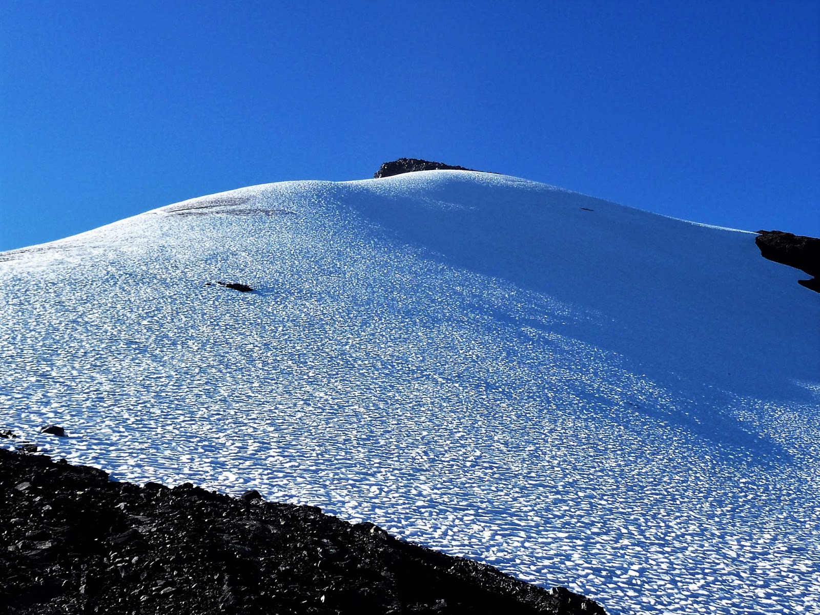
But 2015 was the worst year for Cascade glaciers in many decades and was really hard on this lower portion of Sholes. The portion that ran uphill had been cut off, leaving a remnant of ice out on its own. The snowfield I would hike out on to for a better view had been reduced to a slush, and my favorite shot was, well, pretty much shot. 2015 was also a big season for forest fires and the day I was out at the Sholes the entire scene was obscured with thick smoke and I felt like I was visiting a graveyard. Things had improved a bit by 2016 but were still a long way from what it had been a few years earlier. I don't have access to all my pictures right now, so don't have the before and after pictures I would like, but these are what I've got.


2012 (note glacier flowing uphill)

2016 (uphill section melted off)
I found a good view into Baker but the afternoon sun had moved too high over Baker for proper light so I headed back to Coleman Ridge to find a camp for the night. I found a nice site fairly easily, grassy but clearly a used campsite. I threw down my pack and headed off to the scree - the loveliest scree anywhere – to prepare dinner.

As I ate a young woman came up the slope also looking for a place to pitch her tent. She was heading directly toward my pack and I was concerned she might have been hoping to camp there. I didn't know the etiquette for this sort of thing. Did backpackers just clump up like at a climbers camp? Not to worry: she gave me a cursory wave and ascended strongly up the ridge rising away from the pinnacle. When I looked again she had already attained the top and was just a silhouette in the lowering sunlight, rather cinematic I thought, though too distant for a decent picture.

Not much later a second hiker, a young man, came up the scree. He too just waved and then ascended Coleman Pinnacle as if there were a flight of stairs there. I met him coming out the next day and when I marveled at his ascent he said it was a lot easier than it looked.

Coleman Pinnacle
Both of these hikers, the only two I would see all evening, were in their early-to-mid twenties. I did not start really hiking until I was 40, and did not backpack until my mid-50s. I sometimes wonder what sort of hiking I might have done if I had started when I was young instead of playing basketball all the time. It's meaningless speculation of course, and I always humor myself by realizing that as a young enthusiastic hiker I might have had a bad fall and died an early death. Plus I really loved playing basketball.

It was quite a lovely evening, with the lowering sun casting a subtle light on Mount Baker, too subtle for my camera skills anyway. Coleman Pinnacle blocked my view of Shuksan from my camp but by ascending somewhat on the ridge I was able to see a unique combination of the two hulks, not to mention an entire panorama of the Mount Baker Wilderness


As I descended from my camp the next morning I ran into the young woman I had seen the night before and we descended the snow field together, exchanging pleasantries and admiring an enormous marmot sitting there watching us. It was actually her first time on Ptarmigan Ridge. She was going to investigate Goat Lake and was quite pleased when I told her she would see a herd of goats there. I was heading the other way, back out to Sholes Glacier where I hoped I would find some nice morning light.

I bid her adieu, and as she went on ahead I saw her stumble a bit where the snow gave way to scree. She recovered easily but I should have taken heed and approached the spot more carefully. It just didn't look that tricky. Nevertheless, I lost my footing, hit the scree with a lurching stumble, and felt a sharp pain in the back of my problem knee. I was hoping to walk it off but having no luck. Uphill wasn't a problem but downhill could be painful.The rest of the day was tough. I still went out to the glacier where a milky sky precluded the morning glow I was looking for. I went down to visit the goats but I did not try for the lake.  With frequent rest stops I made it back. Back at my tent I learned I was once again unable to lay my leg out straight without experiencing sharp pain. I was glad I hadn't broadcast my “My Knee Held” lead. I was back to square one.


Goats


* With apologies to Warren Zevon and Mitch Albom